
Can you visit TUBITAK National Observatory? Check before you go
Research site; occasional public open days and summer science schools.
For telescope views near TUBITAK National Observatory, see the observatories open to the public and astronomy clubs nearby; clubs hold free public star parties.
What TUBITAK National Observatory observes
The list does not describe the instruments at TUBITAK National Observatory yet; the official site has them.
How dark the sky is at TUBITAK National Observatory
TUBITAK National Observatory has no Bortle rating in the list yet. The scale below shows what each class looks like.
Sky brightness and class come from the World Atlas of Artificial Night Sky Brightness (Falchi et al. 2016, CC BY-NC 4.0), with natural skyglow added, at the coordinates below. Research telescopes are often sited on mountains above the haze, so the real sky can be darker than the map suggests.
TUBITAK National Observatory among the observatories of Turkey
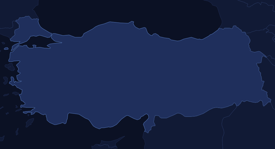
Green dots are observatories open to the public, blue dots research or private sites, squares dark sky places; select one for its page. See Observatories in Turkey for the full list.
The coordinates on this page point to TUG summit site, Bakirlitepe, about 50 km WSW of Antalya (Wikipedia): 36.824°N, 30.336°E.
Map data © OpenStreetMap contributors. Open the larger map · Directions. Mountain observatory roads are often gated after dark; go only on a scheduled public night.
Dark sky places, observatories and clubs near TUBITAK National Observatory
TUBITAK National Observatory sits inside Saklikent, a Bortle Class 4 dark sky place. See Saklikent for camping, where to set up and the sky by season.
Nearest dark sky places
| Place | Where | Bortle | Distance |
|---|---|---|---|
| Saklikent | Saklikent, Turkey | 4 | 0 km (0 mi) |
| Mount Sivri National Park | Konyaalti, Turkey | 4 | 13 km (8 mi) |
| Olympos | Cirali, Turkey | 4 | 49 km (31 mi) |
| Melikler Yaylasi | Turkey | 3 | 83 km (52 mi) |
| Gelemis District | Gelemis, Turkey | 4 | 112 km (70 mi) |
| Lake Kartal Nature Reserve | Beyagac, Turkey | 2 | 126 km (78 mi) |
TUBITAK National Observatory record
Every value in the observatories dataset for TUBITAK National Observatory
| ID | 366 |
|---|---|
| Name | TUBITAK National Observatory |
| Address | Bakirlitepe, Saklikent |
| State | Antalya |
| Country | Turkey |
| Continent | Asia |
| Subcontinent | Central Asia |
| Web | https://tug.tubitak.gov.tr/en |
| Elevation | 2450 |
| Lat | 36.82417 |
| Lon | 30.33556 |
| LatLonSpot | TUG summit site, Bakirlitepe, about 50 km WSW of Antalya (Wikipedia) |
| Status | Active |
| StatusNote | Operated by TUBITAK Space Technologies/TUG; RTT150, T100, T60 telescopes |
| PublicNote | Research site; occasional public open days and summer science schools |
| Sources | https://en.wikipedia.org/wiki/T%C3%9CB%C4%B0TAK_National_Observatory; https://tug.tubitak.gov.tr/en/node/302 |
| GlobalParkID | 286 |
| ParkKm | 0.0 |
From the site's observatories dataset (observatoriesglobal_q426). Distances are computed from the coordinates.