
Can you visit Ankara University Kreiken Observatory? Yes
Public days (halk gunu) and special sky-event nights such as the Perseids.
A public night at an observatory usually starts at dusk with a short talk, then a line at the eyepiece of the main telescope for the Moon, a planet or a bright cluster, with volunteers' smaller telescopes set up outside. Dress for the night air even in summer: domes are not heated, so the telescope stays at outside temperature. Many nights sell out or cancel for clouds, so check the observatory's site on the day.
What Ankara University Kreiken Observatory observes
The list does not describe the instruments at Ankara University Kreiken Observatory yet; the official site has them.
How dark the sky is at Ankara University Kreiken Observatory
Ankara University Kreiken Observatory has no Bortle rating in the list yet. The scale below shows what each class looks like.
Sky brightness and class come from the World Atlas of Artificial Night Sky Brightness (Falchi et al. 2016, CC BY-NC 4.0), with natural skyglow added, at the coordinates below. Research telescopes are often sited on mountains above the haze, so the real sky can be darker than the map suggests.
Ankara University Kreiken Observatory among the observatories of Turkey
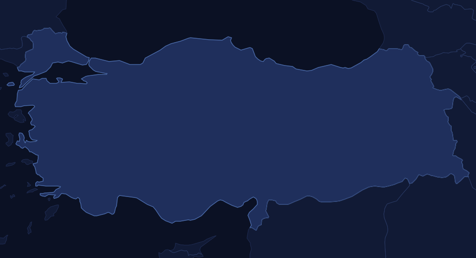
Green dots are observatories open to the public, blue dots research or private sites, squares dark sky places; select one for its page. See Observatories in Turkey for the full list.
The coordinates on this page point to Ankara University Kreiken Observatory, Ahlatlibel (observatory site): 39.844°N, 32.779°E.
Map data © OpenStreetMap contributors. Open the larger map · Directions. Mountain observatory roads are often gated after dark; go only on a scheduled public night.
Dark sky places, observatories and clubs near Ankara University Kreiken Observatory
Nearest dark sky places
| Place | Where | Bortle | Distance |
|---|---|---|---|
| Tekkedagi Nature Park | Beypazari, Turkey | 5 | 82 km (51 mi) |
| Karagol Nature Park | Kibriscik, Turkey | 3 | 82 km (51 mi) |
| Goreme | Goreme, Turkey | 4 | 221 km (138 mi) |
| Erciyes | Tekir, Turkey | 4 | 277 km (172 mi) |
| Uludag | Uludag, Turkey | 4 | 304 km (189 mi) |
| Melikler Yaylasi | Turkey | 3 | 315 km (195 mi) |
Ankara University Kreiken Observatory record
Every value in the observatories dataset for Ankara University Kreiken Observatory
| ID | 361 |
|---|---|
| Name | Ankara University Kreiken Observatory |
| City | Ankara (Ahlatlibel) |
| State | Ankara |
| Country | Turkey |
| Continent | Asia |
| Subcontinent | Middle East |
| Web | http://rasathane.ankara.edu.tr/ |
| Public | y |
| Elevation | 1257 |
| Lat | 39.84361 |
| Lon | 32.77917 |
| LatLonSpot | Ankara University Kreiken Observatory, Ahlatlibel (observatory site) |
| Status | Active |
| StatusNote | Ankara University Kreiken Observatory (AUKR) |
| PublicNote | Public days (halk gunu) and special sky-event nights such as the Perseids |
| Sources | https://rasathane.ankara.edu.tr/wp-content/uploads/sites/175/2024/10/aukr_12ekim2024_halk_gunu_etkinligi_duyurusu.pdf https://rasathane.ankara.edu.tr/en/location-contact |
From the site's observatories dataset (observatoriesglobal_q426). Distances are computed from the coordinates.